
Mar 13
Old Tool, New Use: GPS and the Terrestrial Reference Frame
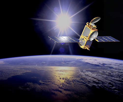
Artist’s interpretation of the Jason 2 satellite. To do its job properly, satellites like Jason 2 require as accurate a terrestrial reference frame as possible. Image courtesy: NASA/JPL-Caltech.
By Alex H. Kasprak
Flying over 1300 kilometers above Earth, the Jason 2 satellite knows its distance from the ocean down to a matter of centimeters, allowing for the creation of detailed maps of the ocean’s surface. This information is invaluable to oceanographers and climate scientists. By understanding the ocean’s complex topography—its barely perceptible hills and troughs—these scientists can monitor the pace of sea level rise, unravel the intricacies of ocean currents, and project the effects of future climate change.
But these measurements would be useless if there were not some frame of reference to put them in context. A terrestrial reference frame, ratified by an international group of scientists, serves that purpose. “It’s a lot like air,” says JPL scientist Jan Weiss. “It’s all around us and is vitally important, but people don’t really think about it.” Creating such a frame of reference is more of a challenge than you might think, though. No point on the surface of Earth is truly fixed.
To create a terrestrial reference frame, you need to know the distance between as many points as possible. Two methods help achieve that goal. Very-long baseline interferometry uses multiple radio antennas to monitor the signal from something very far away in space, like a quasar. The distance between the antennas can be calculated based on tiny changes in the time it takes the signal to reach them. Satellite laser ranging, the second method, bounces lasers off of satellites and measures the two-way travel time to calculate distance between ground stations.
Weiss and his colleagues would like to add a third method into the mix—GPS. At the moment, GPS measurements are used only to tie together the points created by very long baseline interferometry and satellite laser ranging together, not to directly calculate a terrestrial reference frame.
“There hasn’t been a whole lot of serious effort to include GPS directly,” says Weiss. His goal is to show that GPS can be used to create a terrestrial reference frame on its own. “The thing about GPS that’s different from very-long baseline interferometry and satellite laser ranging is that you don’t need complex and expensive infrastructure and can deploy many stations all around the world.”
Feeding GPS data directly into the calculation of a terrestrial reference frame could lead to an even more accurate and cost effective way to reference points geospatially. This could be good news for missions like Jason 2. Slight errors in the terrestrial reference frame can create significant errors where precise measurements are required. GPS stations could prove to be a vital and untapped resource in the quest to create the most accurate terrestrial reference frame possible. “The thing about GPS,” says Weiss, “is that you are just so data rich when compared to these other techniques.”
You can learn more about NASA’s efforts to create an accurate terrestrial reference frame here: http://space-geodesy.nasa.gov/.
Kids can learn all about GPS by visiting http://spaceplace.nasa.gov/gps and watching a fun animation about finding pizza here: http://spaceplace.nasa.gov/gps-pizza.